Maps and Data
New Hampshire’s Coastal Watershed Conservation Plan provides maps at two different scales - individual municipalities and by subwatersheds. These maps display the Conservation Focus Areas and Priority Agricultural Resources for each geographic area. The maps can be used in local and regional conservation planning, identification of conservation priorities, land use planning, and more. Learn about the data that went into identifying these priority areas.
Find a Map
In the accordion boxes below, you will find maps showing the Conservation Focus Areas (purple) and Priority Agricultural Resources (outlined in yellow) in your town or city and in your subwatershed. These maps also show existing conservation and public lands, tax map parcels (where available), and surface waters and wetlands on an aerial photo background. These maps were generated using conservation and public lands data available as of the most recently published data (August 2022.) To submit additional conservation lands, please use the instructions provided here . Note that conservation lands updates are usually done annually, not as submissions come in.
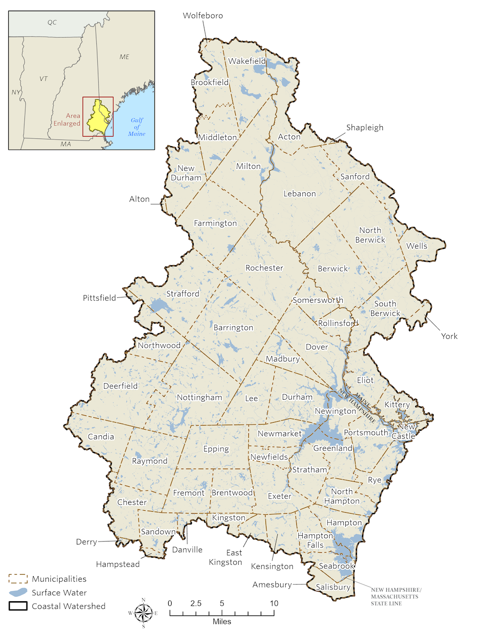
Towns and cities in New Hampshire’s Coastal Watershed (Download the PDF version here)
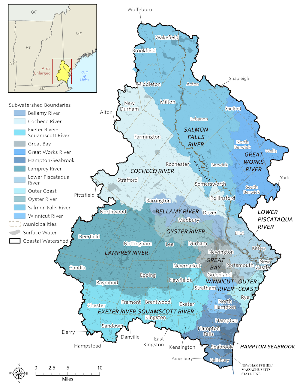
Subwatersheds in New Hampshire’s Coastal Watershed (Download the PDF version here)
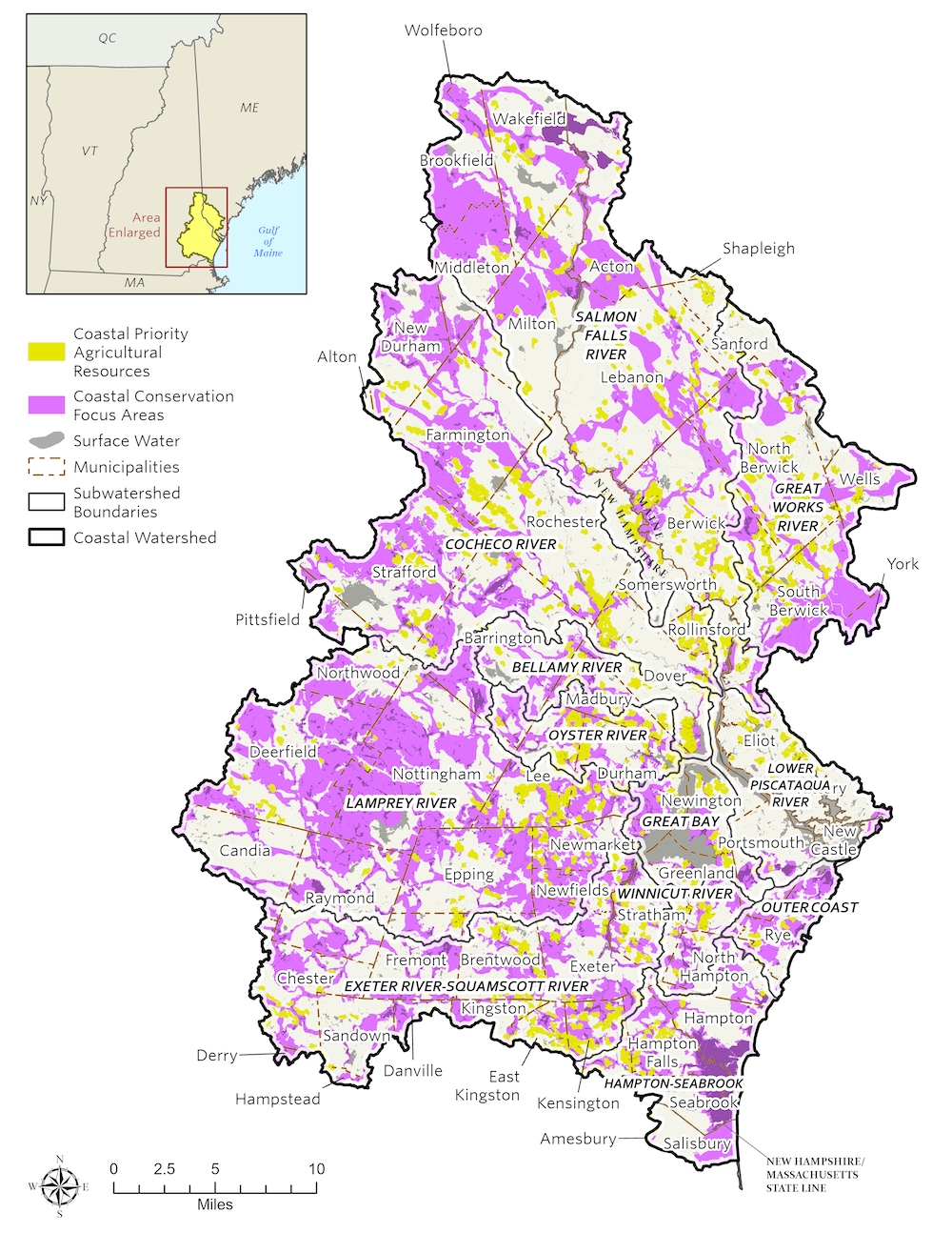
Conservation focus areas in New Hampshire’s Coastal Watershed (Download the PDF version here)
Make Your Own Map
Want to dive deeper into the data and add other layers to your map? Use the NH Coastal Viewer to explore the Plan’s data layers, overlay other data, and generate and download your own map—here’s how:
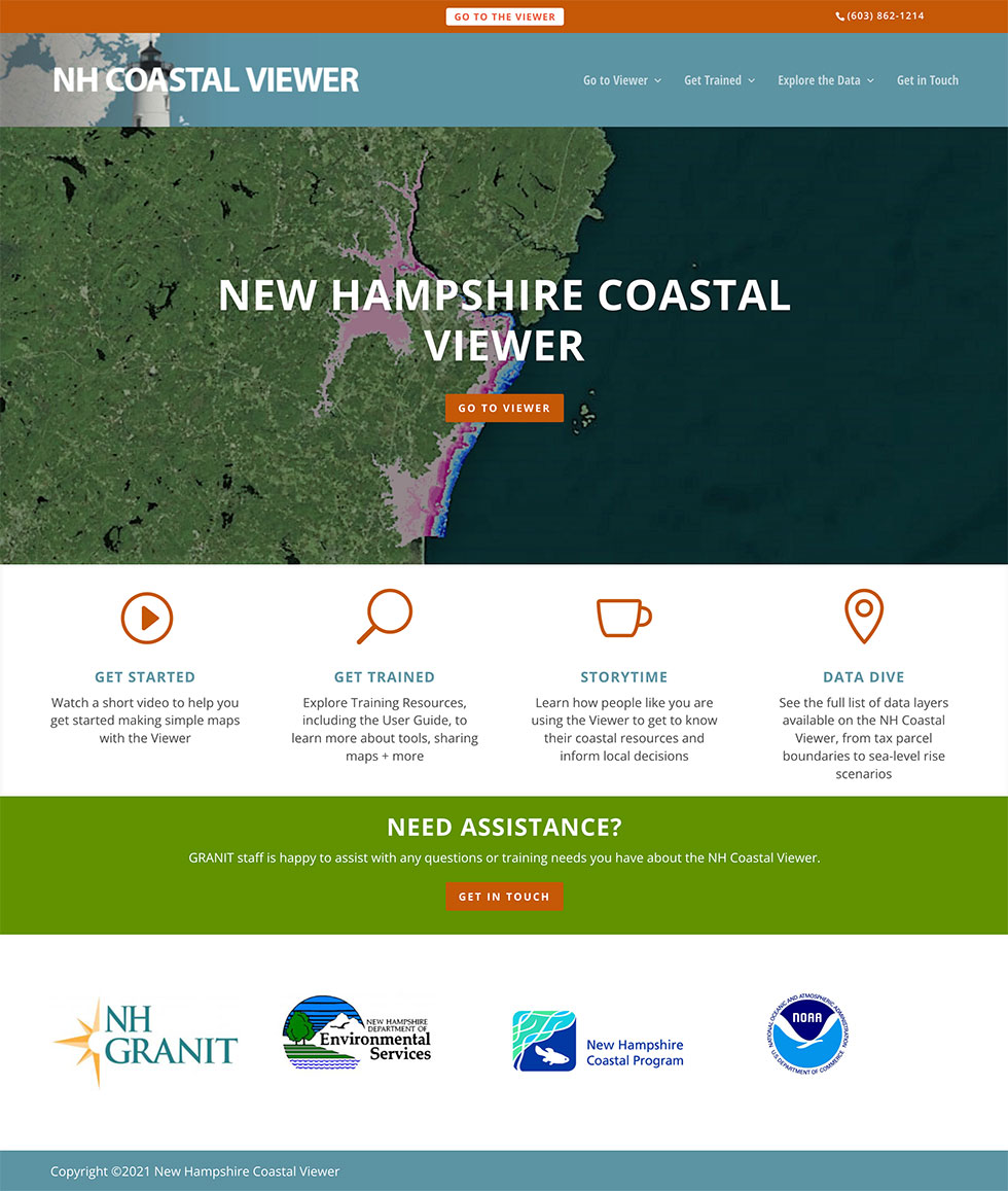
NH Coastal Viewer
The NH Coastal Viewer is a web-based, mapping tool that brings together spatial data about coastal watershed communities in one place.
- Interested in exploring the data layers that inform the Plan? You’ll find them on NH Coastal Viewer. For more information, check out a comprehensive list of data from the Plan and other sources on this site or browse data layers on NH GRANIT.
- Looking for support with using the NH Coastal Viewer? Download instructions, along with different examples of what you can see on the NH Coastal Viewer, or watch an instructional video. A general guide to get started, training exercises, and instructional videos for the NH Coastal Viewer are all available here.
GRANIT Data for GIS users
- Download shapefiles: Prefer to have GIS files to use with your own mapping software? The GIS files and metadata are available at these links (via NH GRANIT): Conservation Focus Areas and Priority Agricultural Resources.
Data Layers
Many different data sources were used to create the maps in the Plan. If you are interested in exploring these data sources further, take a look at the list below: